FacebookInstagramTwitterWhatsApp

Meteo Castellana Sicula tra 9 giorni. Previsioni del tempo, precipitazioni, temperatura e venti

FacebookWhatsappTwitterTelegram

Castellana Sicula
Giornata ventosa
Notte
sereno notte
Mattino
soleggiato
Pomeriggio
prevalentemente soleggiato
Sera
poco nuvoloso
  • 11°

    UV Normale 0

    ore

    sereno notte

    Umidità normale66%

    Raffiche forti24-32 Km/h

    Sud est intensoSud E

  • 11°

    UV Normale 0

    ore

    sereno notte

    Umidità normale64%

    Raffiche forti25-33 Km/h

    Est sud est intensoEst SE

  • 10°

    UV Normale 0

    ore

    sereno notte

    Umidità normale62%

    Raffiche forti25-34 Km/h

    Est sud est intensoEst SE

  • 10°

    UV Normale 0

    ore

    sereno notte

    Umidità normale60%

    Raffiche forti26-35 Km/h

    Est sud est intensoEst SE

  • 10°

    UV Normale 0

    ore

    sereno notte

    Umidità normale57%

    Raffiche forti27-38 Km/h

    Est sud est intensoEst SE

  • 10°

    UV Normale 0

    ore

    sereno notte

    Umidità normale55%

    Raffiche forti28-40 Km/h

    Est sud est intensoEst SE

  • 10°

    UV Normale 1

    ore

    soleggiato

    Umidità normale53%

    Raffiche forti29-43 Km/h

    Est sud est intensoEst SE

  • 11°

    UV Normale 2

    ore

    soleggiato

    Umidità normale50%

    Raffiche forti30-45 Km/h

    Est sud est intensoEst SE

  • 11°

    UV Normale 4

    ore

    soleggiato

    Umidità normale47%

    Raffiche forti31-47 Km/h

    Est sud est intensoEst SE

  • 12°

    UV Normale 5

    ore

    soleggiato

    Umidità normale44%

    Raffiche forti32-50 Km/h

    Est sud est intensoEst SE

  • 13°

    UV Elevato 6

    ore

    soleggiato

    Umidità normale46%

    Raffiche forti34-51 Km/h

    Est sud est intensoEst SE

  • 14°

    UV Elevato 7

    ore

    soleggiato

    Umidità normale47%

    Raffiche forti36-51 Km/h

    Est sud est intensoEst SE

  • 15°

    UV Elevato 9

    ore

    soleggiato

    Umidità normale49%

    Raffiche forti38-52 Km/h

    Sud est intensoSud E

  • 15°

    UV Elevato 10

    ore

    soleggiato

    Umidità normale51%

    Raffiche forti40-53 Km/h

    Sud est intensoSud E

  • 16°

    UV Elevato 9

    ore

    prevalentemente soleggiato

    Umidità normale52%

    Raffiche forti43-54 Km/h

    Sud est intensoSud E

  • 17°

    UV Elevato 7

    ore

    prevalentemente soleggiato

    Umidità normale54%

    Raffiche forti45-54 Km/h

    Sud est intensoSud E

  • 16°

    UV Elevato 6

    ore

    prevalentemente soleggiato

    Umidità normale60%

    Raffiche forti44-54 Km/h

    Sud est intensoSud E

  • 15°

    UV Normale 4

    ore

    prevalentemente soleggiato

    Umidità normale65%

    Raffiche forti42-54 Km/h

    Sud est intensoSud E

  • 15°

    UV Normale 3

    ore

    prevalentemente soleggiato

    Umidità alta71%

    Raffiche forti41-54 Km/h

    Sud est intensoSud E

  • 14°

    UV Normale 1

    ore

    prevalentemente soleggiato

    Umidità alta77%

    Raffiche forti40-54 Km/h

    Sud est intensoSud E

  • 13°

    UV Normale 0

    ore

    poco nuvoloso

    Umidità alta82%

    Raffiche forti38-54 Km/h

    Sud est intensoSud E

  • 12°

    UV Normale 0

    ore

    poco nuvoloso

    Umidità alta88%

    Raffiche forti37-54 Km/h

    Sud est intensoSud E

  • 12°

    UV Normale 0

    ore

    poco nuvoloso

    Umidità alta89%

    Raffiche forti34-50 Km/h

    Sud est intensoSud E

  • 12°

    UV Normale 0

    ore

    poco nuvoloso

    Umidità alta89%

    Raffiche forti31-45 Km/h

    Est sud est intensoEst SE

  • 12°

    UV Normale 0

    ore

    poco nuvoloso

    Umidità alta90%

    Raffiche forti28-41 Km/h

    Est sud est intensoEst SE

Meteo provincia di Palermo
Meteo Sicilia Italia
Oggi

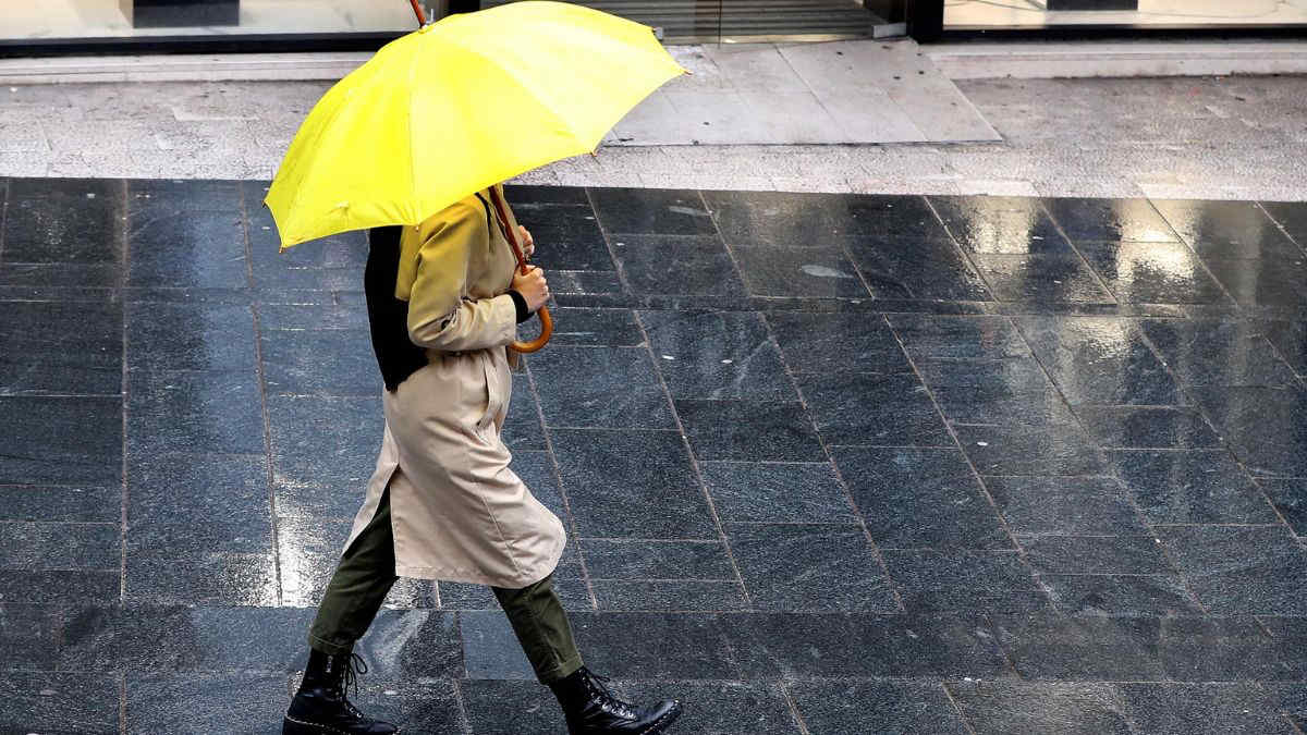
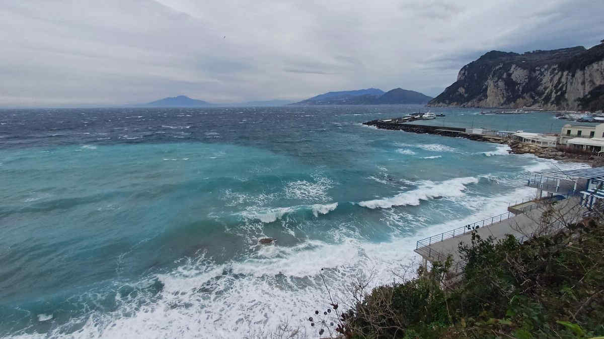
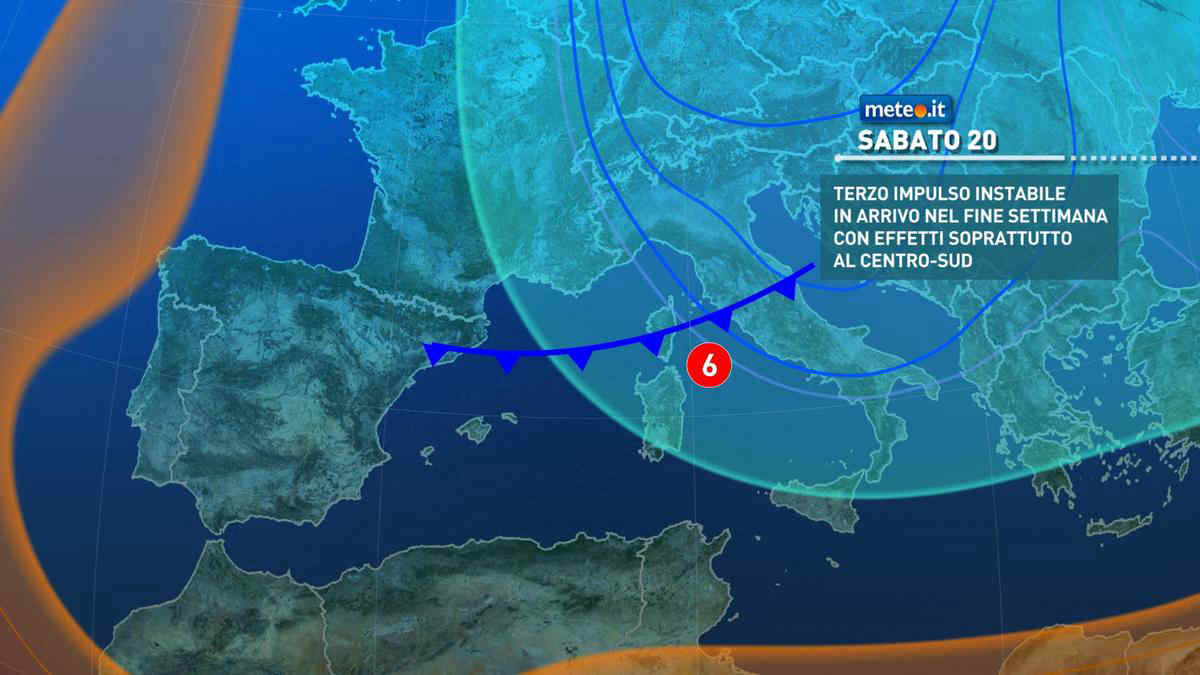
Al mattino cielo nuvoloso con piogge e locali temporali nel settore tirrenico e aree interne. Quota neve intorno ai 1400 metri sui monti. Temperature minime in calo. Nel pomeriggio tempo ancora instabile con isolate piogge o temporali nel settore tirrenico e interno, ma in miglioramento verso sera a partire da ovest. Temperature massime in lieve calo. Venti da moderati a forti da nord o nord-ovest. Mari: mosso lo Ionio, molto mossi o agitati gli altri.

Notizie
TendenzaMeteo, ancora piogge e aria fredda nei prossimi giorni: la tendenza fino al 25 aprile
Meteo, ancora piogge e aria fredda nei prossimi giorni: la tendenza fino al 25 aprile
Via vai di perturbazioni e aria fredda: lo scenario meteo resta molto variabile almeno fino al 25 aprile. La tendenza e le zone a rischio pioggia
Mediaset

Ultimo aggiornamento Venerdì 19 Aprile ore 19:58

Copyright © 1999-2020 RTI S.p.A. Direzione Business Digital - P.Iva 03976881007 - Tutti i diritti riservati - Per la pubblicità Mediamond S.p.a. RTI spa, Gruppo Mediaset - Sede legale: 00187 Roma Largo del Nazareno 8 - Cap. Soc. € 500.000.007,00 int. vers. - Registro delle Imprese di Roma, C.F.06921720154